Exporting to Google Earth
The Latitude and Longitude fields of the Modeling Export Options: KMZ dialog.
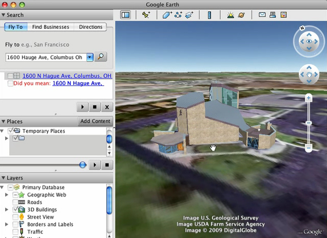
A completed model can be exported and viewed in Google Earth.
From the bonzai3d File menu, select Export, KMZ. You can save the .kmz file to any name you choose.
Inside the Modeling Export Options: KMZ dialog, bonzai3d automatically sets the Latitude and Longitude of the site based on the aerial image that was imported from Google Earth. Note that you can also manually type the desired coordinates of your model into these fields.
|
The Latitiude and Longitude entry for exporitng to KMZ was revised for bonzai3d 3.0, and allows more accurate placement in Google Earth. |
New in v. 3.0 |
Inside Google Earth, select File, Open and locate the .kmz file you just saved and it is imported to the program. Note that, although you're now able to view your model inside Google Earth once the .kmz file is loaded, it is not made public (i.e. on a another computer). In order for someone on another computer to see your model inside Google Earth, you have two choces:
• send the .kmz file along with the image maps,
• or you can upload the .kmz file to Google's 3D Warehouse.
